
Gain a complete view of your operations with survey-level 2D and 3D imaging without the cost of traditional surveys. From LDAR to site visualization, we provide insights that improve efficiency, reduce risk, and support more informed decision-making.
Maximize your profits and meet regulatory compliance standards with advanced vapor recovery solutions by Flogistix. Whether you're managing a marginal well or a high-volume operation, our proven technology is designed to capture every opportunity for efficiency, putting more revenue in your pocket.
.avif)
Quickly monitor site activities, equipment placement, and changes with detailed aerial views for faster insights and reduced operational costs.
.avif)
From construction layouts to volumetric analysis, 2D/3D modeling and GIS deliver the accurate data teams need to plan, execute, and support M&A due diligence successfully.
.avif)
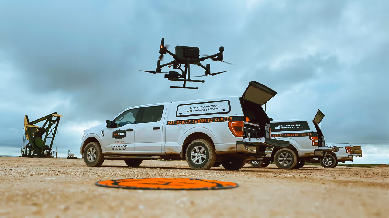
Pinpoint leaks quickly across facilities, pipelines, and equipment—reducing emissions, minimizing risk, and ensuring compliance across sectors.
.png)
Identify hazards such as encroachments, erosion, or infrastructure risks and reduce drive times before they escalate into costly or dangerous issues.
.png)
Track physical assets—including buildings, utilities, and infrastructure—over time to verify placement, detect changes, and manage inventory efficiently.
.png)
Support industry regulations with documented aerial data—whether it’s methane reporting in energy, environmental monitoring in construction, or right-of-way verification for utilities.
Flogistix solutions seamlessly integrate cutting-edge technology with proprietary software, aligning with your objectives. Each application benefit from an innovative approach and engineering, instilling confidence in our services to optimize your well head.
Aerial imaging and LDAR solutions that streamline methane reporting, verify site conditions, and help to keep your operations aligned with state and federal regulations.
.avif)
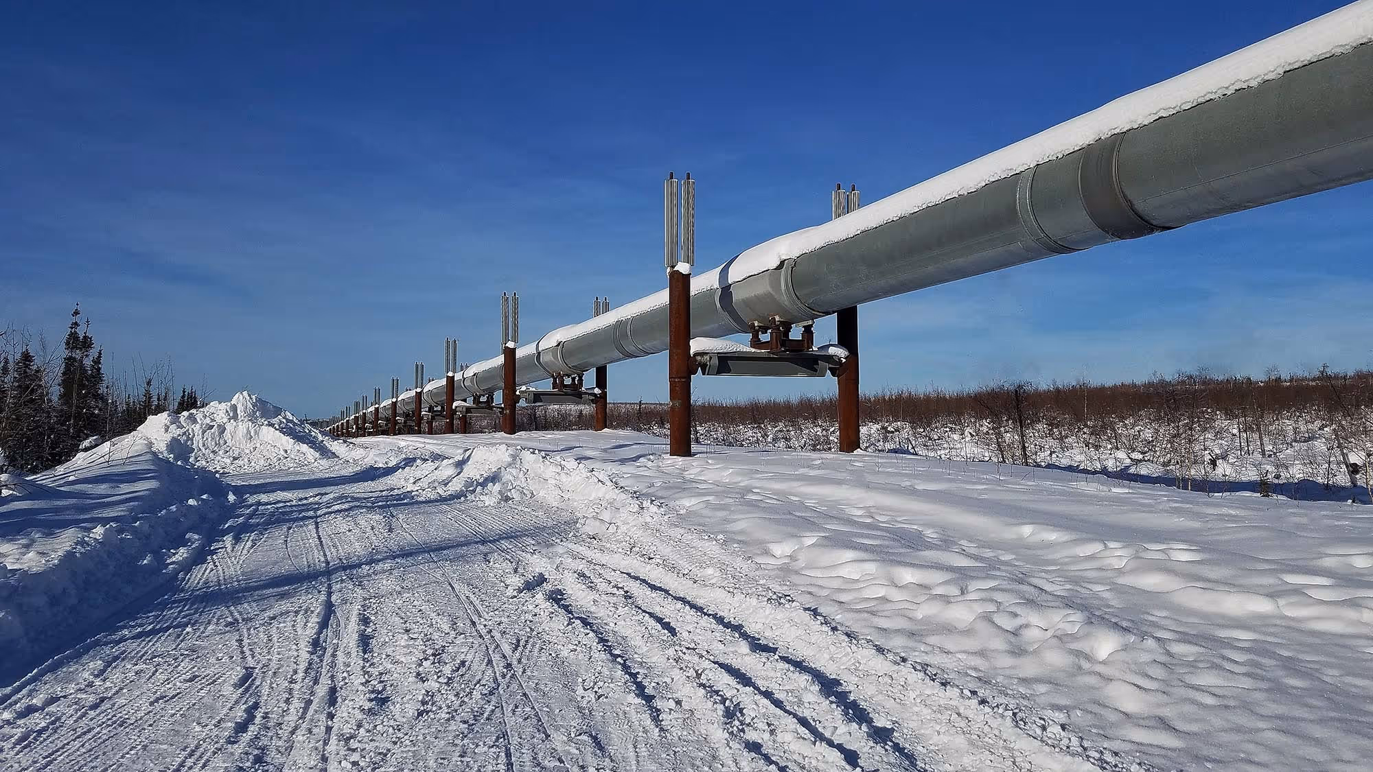
From wind and solar farms to transmission lines, aerial imaging and GIS deliver the insights energy providers need to expand capacity, improve reliability, and meet sustainability goals.
.avif)
Enhance emergency response with fast aerial mapping and situational awareness.
%20(1).avif)
Aerial mapping for site planning, progress tracking, and inspections.
.avif)
2D and 3D modeling that improves grid reliability and reduces inspection costs.
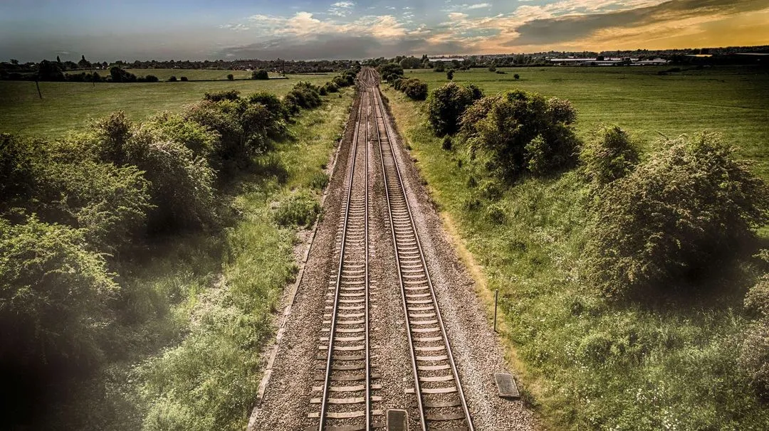
Aerial mapping and 3D modeling that monitor railways, roads, and transit corridors.
Ready to transform your operations? Contact us today for a quote or sample report.